Log in
All resources
Create a design
38,207 Free Images of 1860 Maps
maps made in the 17th century
gerard valck
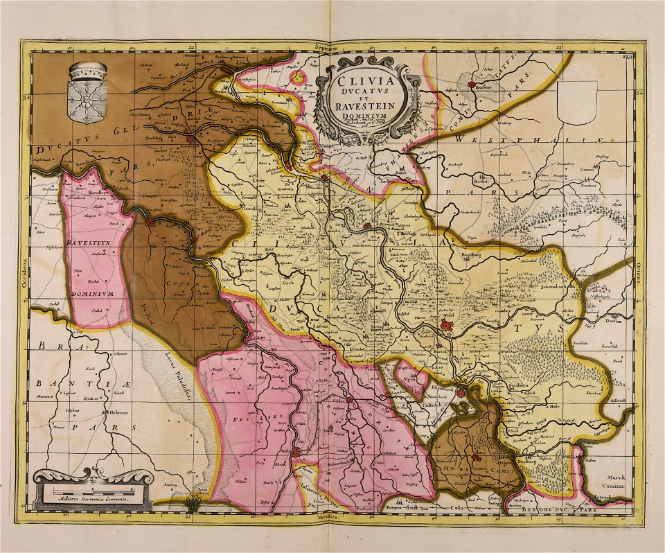
maps by pieter schenk (i)
atlantis magni tomus secundus (biblioteca comunale di trento)
atlantis magni tomus tertius (biblioteca comunale di trento)
fonds ancely - bibliothèque municipale de toulouse - maps
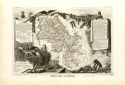
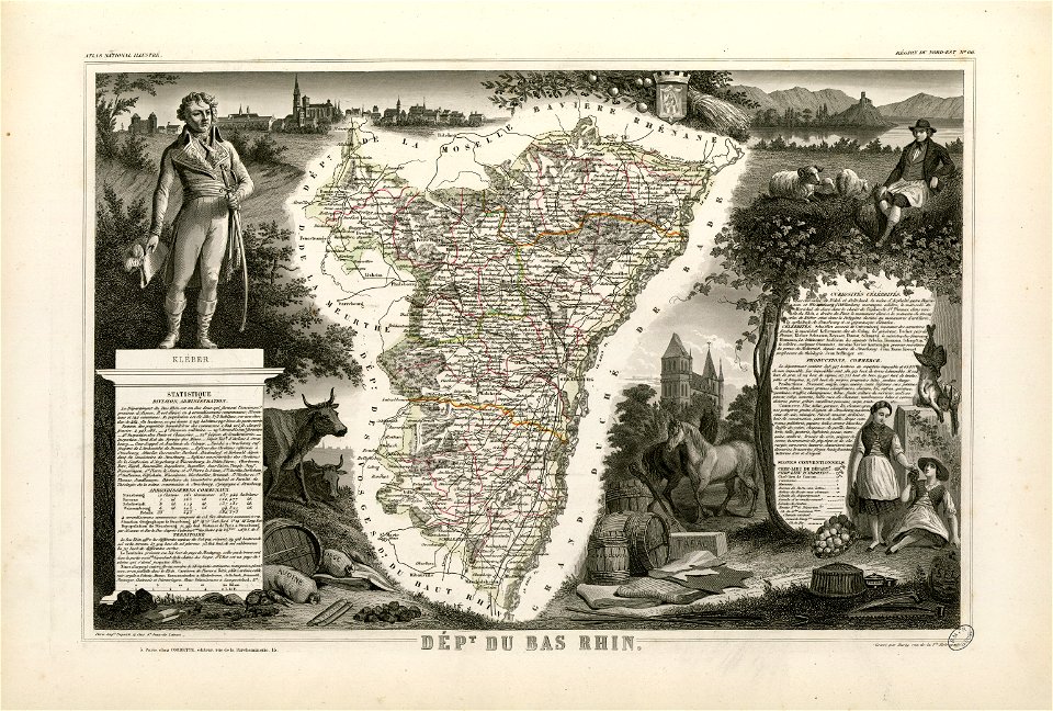
victor levasseur - maps of france
frédéric-auguste laguillermie
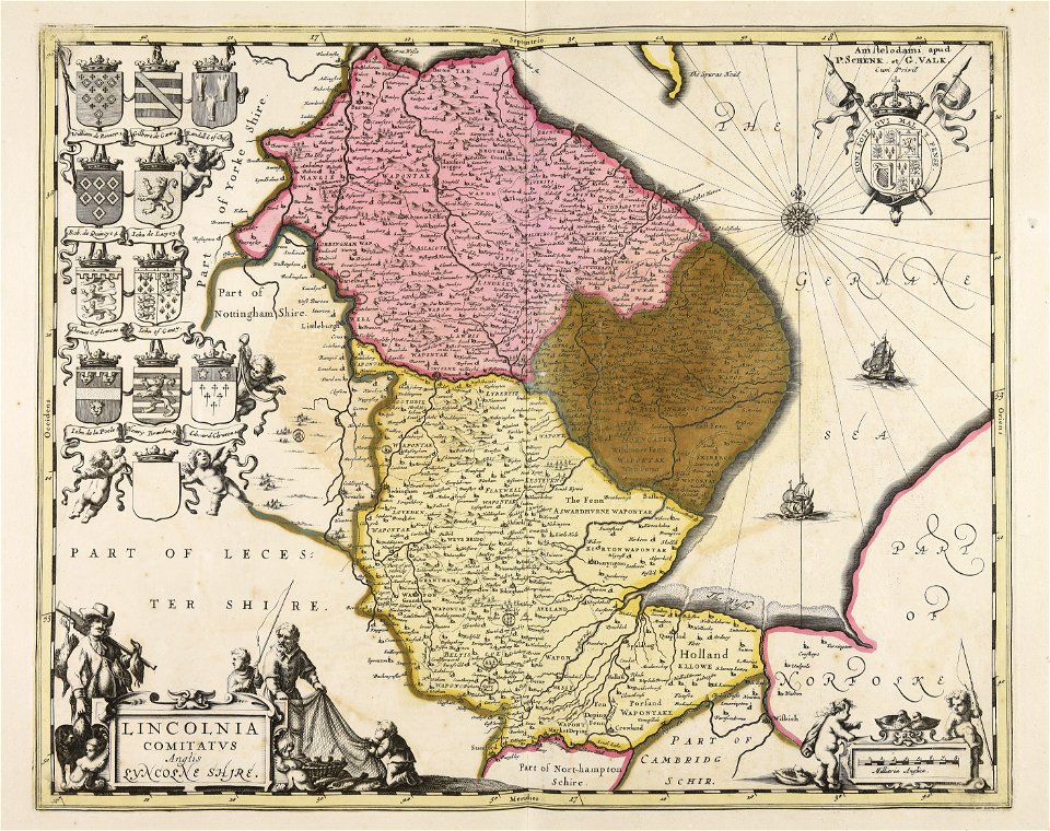
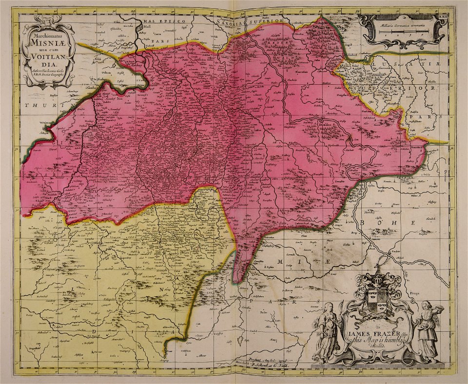
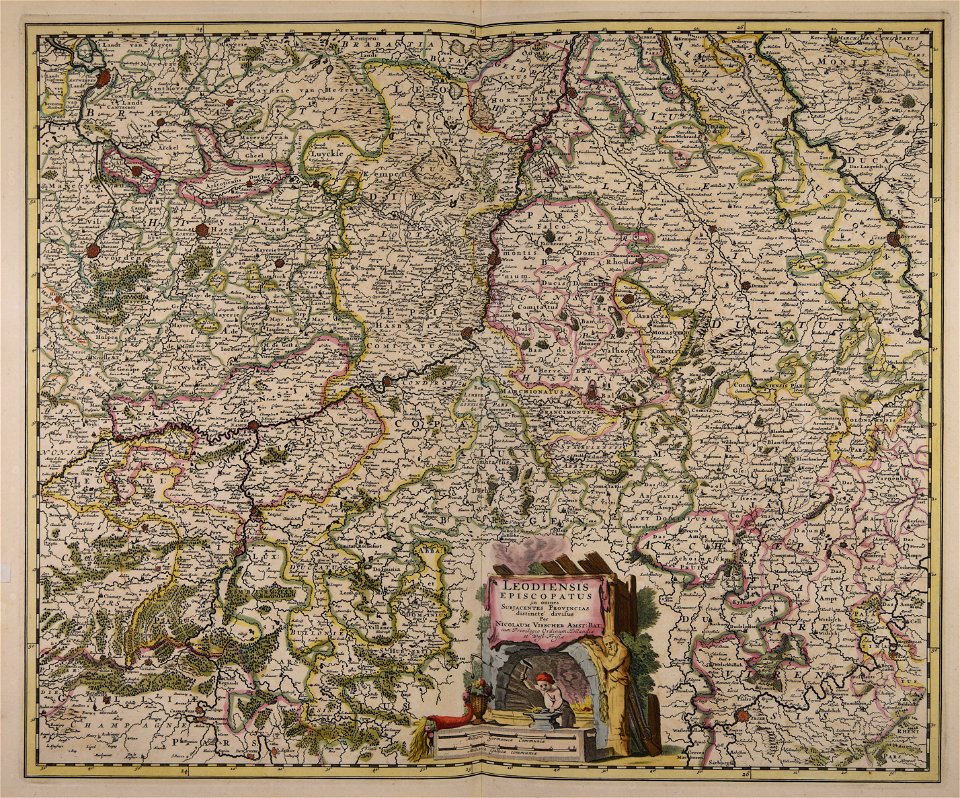
maps with cartouches
atlas van der hagen
fonds ancely - bibliothèque municipale de toulouse - maps
frédéric-auguste laguillermie
coats of arms of bordeaux
carle vernet
fonds ancely - bibliothèque municipale de toulouse - maps
frédéric-auguste laguillermie
coats of arms of strasbourg (i)
jean-baptiste kléber
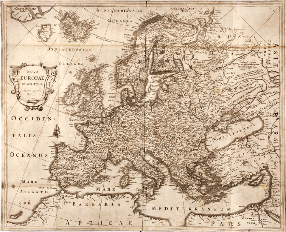
maps made in the 17th century
gerard valck
gerard valck
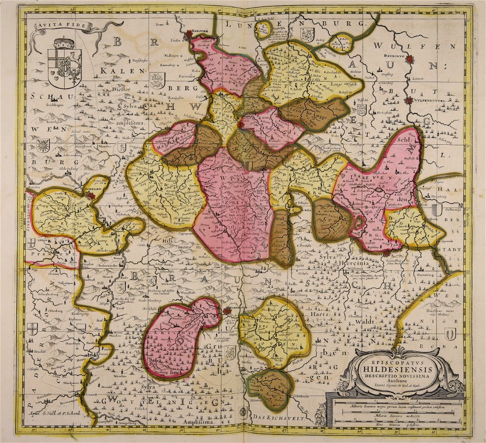
germany
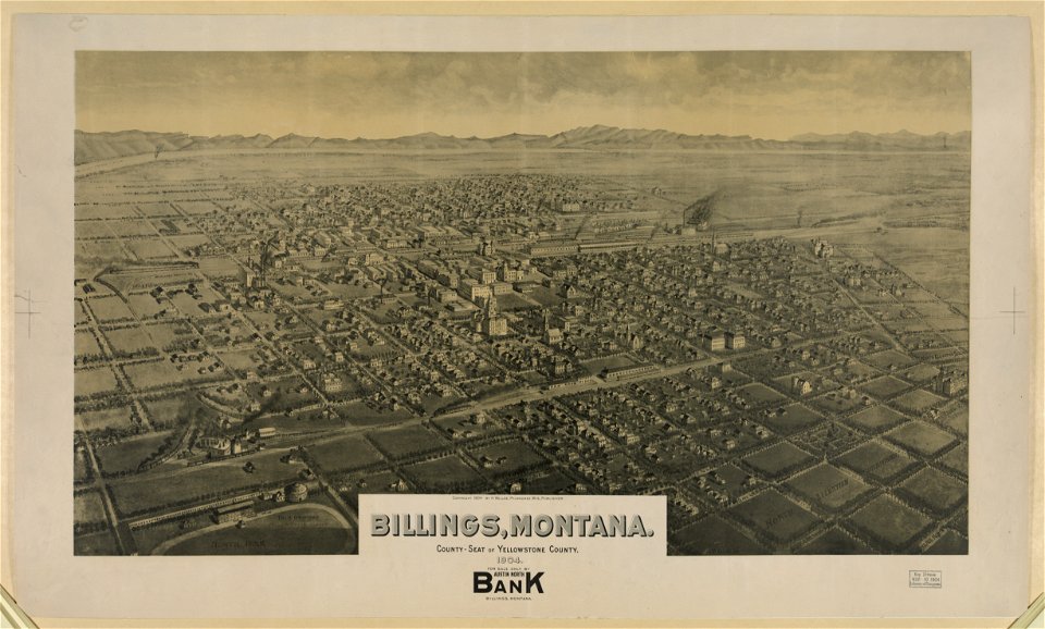
lithographs of montana
montana
maps made in the 17th century
gerard valck
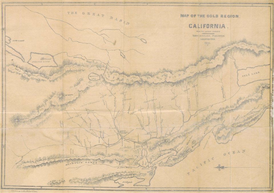
california gold rush
john sutter
maps made in the 17th century
gerard valck
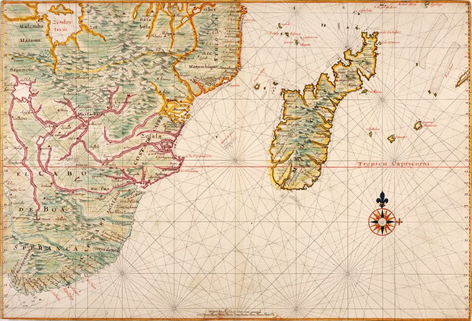
maps of the dutch east india company - madagascar
1665
maps of the dutch east india company - indonesia
1705
maps made in the 17th century
gerard valck
maps with cartouches
joan blaeu
maps of luxembourg city walls
maps with cartouches
maps with cartouches
atlas van der hagen
old maps of the hague
siege of leiden
maps in musée de la compagnie des indes
17th-century engravings
maps made in the 17th century
gerard valck
maps made in the 17th century
gerard valck
cornell: persuasive cartography: the pj mode collection
cornell university library
maps made in the 17th century
gerard valck
pictorial history of the russian war 1854-5-6 by george dodd
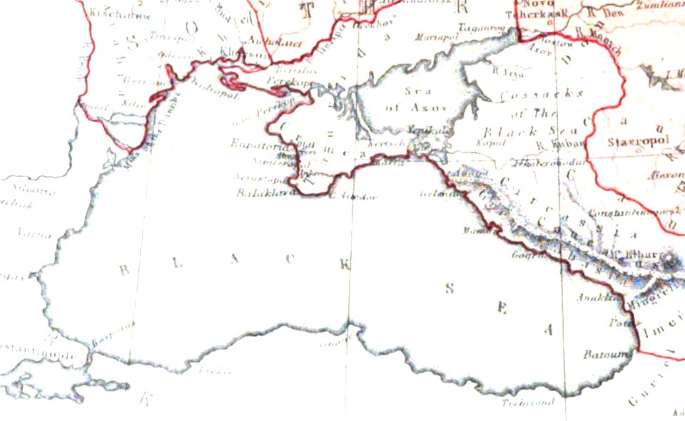
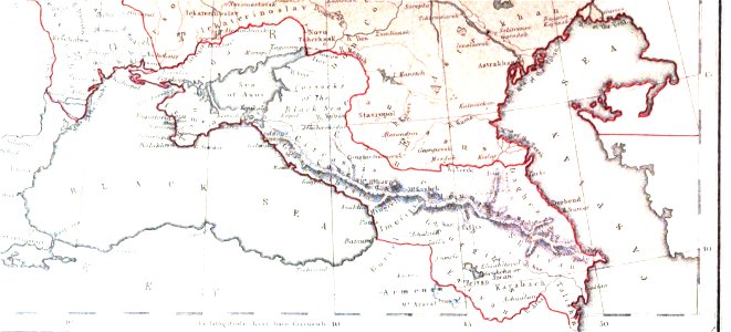
maps of circassia
maps made in the 17th century
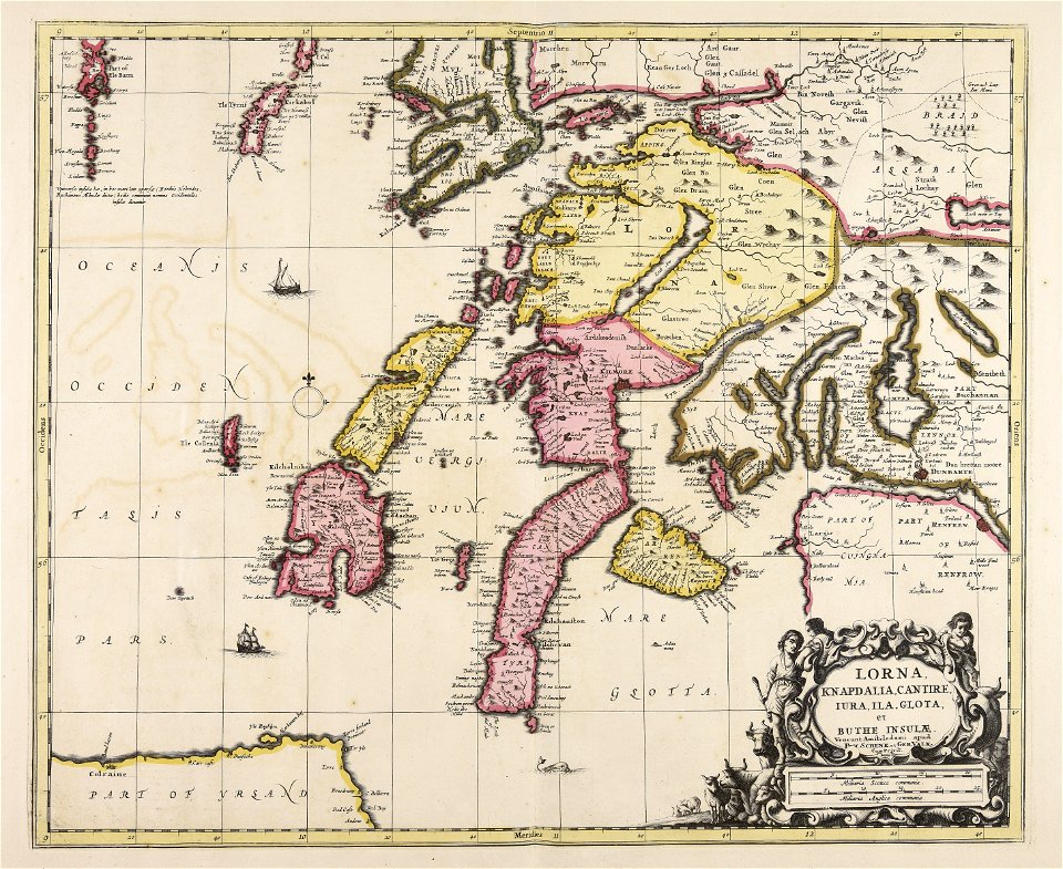
lochaber
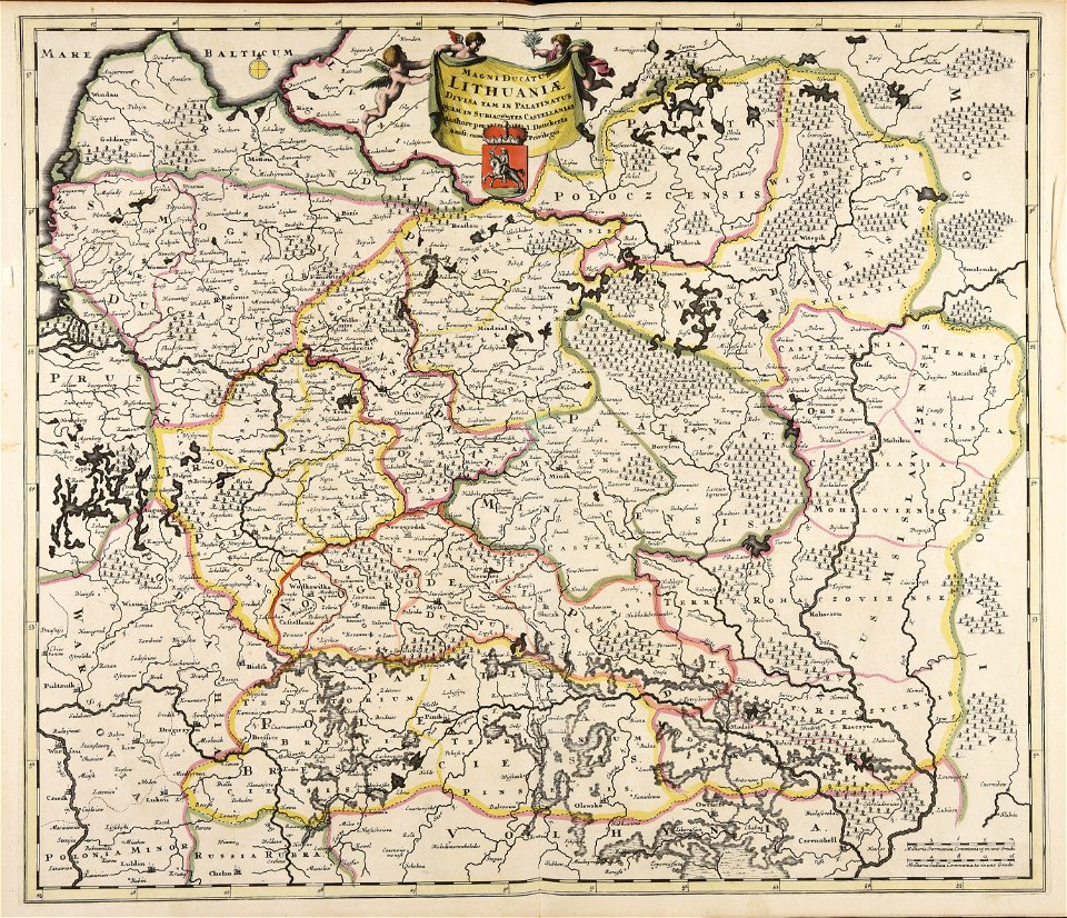
old maps of the grand duchy of lithuania
maps made in the 17th century
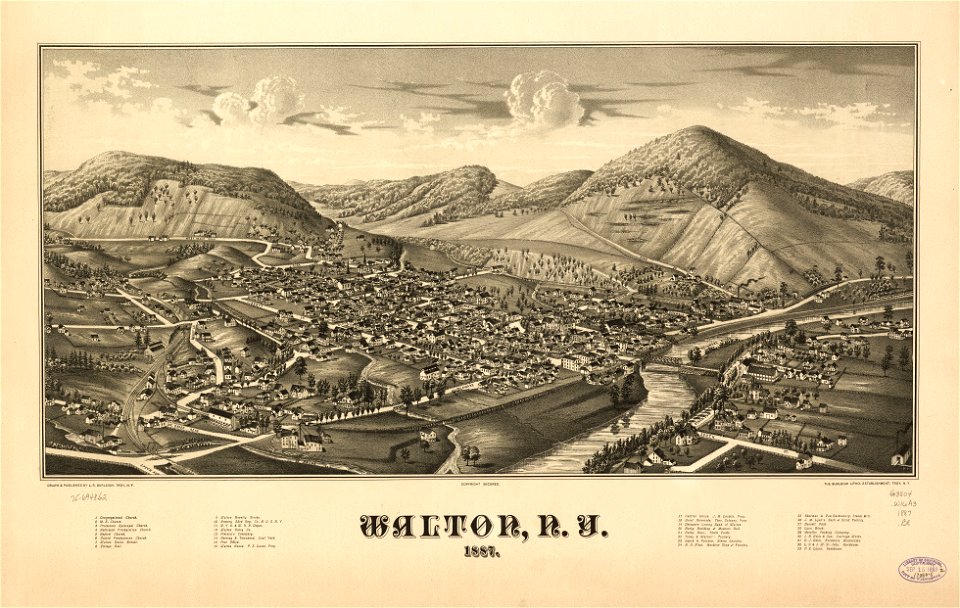
new york
walton
maps made in the 17th century
gerard valck
maps made in the 17th century
gerard valck
maps made in the 17th century
gerard valck
maps by pieter schenk (i)
gerard valck
maps made in the 17th century
gerard valck
maps made in the 17th century
gerard valck
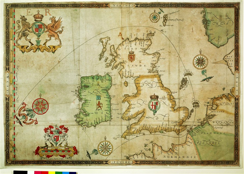
the track of the armada around britain and ireland
charts and maps of the royal museums greenwich
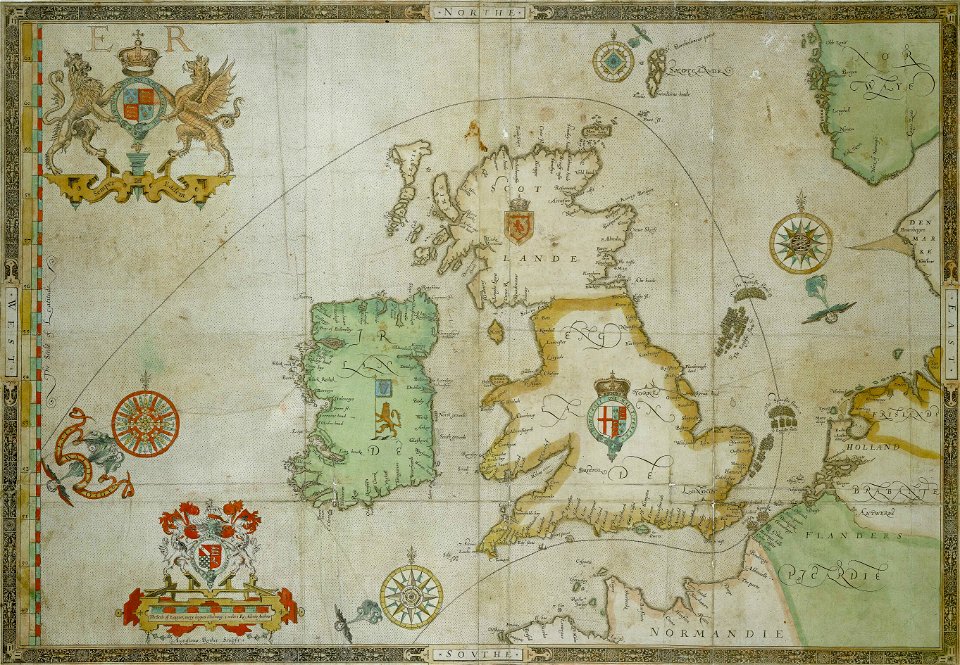
the track of the armada around britain and ireland
charts and maps of the royal museums greenwich
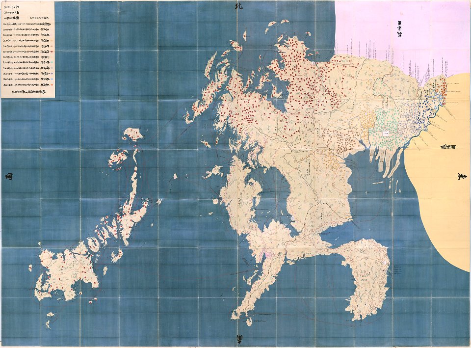
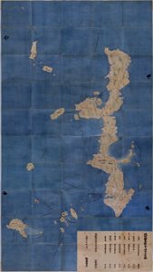
maps in the national archives of japan
hizen province
maps of the aleutian islands
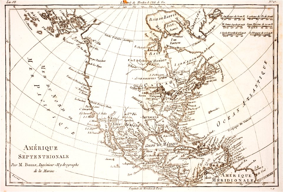
1780 maps of north america
maps made in the 17th century
gerard valck
maps made in the 17th century
gerard valck
maps made in the 17th century
gerard valck
olomouc fortress
1644
maps made in the 17th century
gerard valck
files from the bodleian libraries
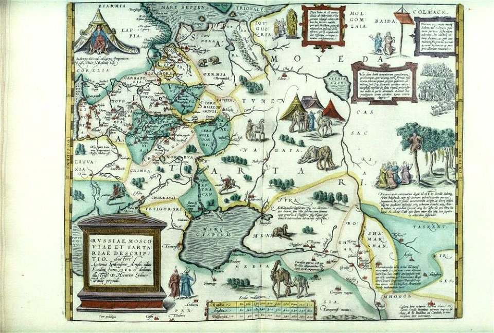
maps of tartary
maps made in the 17th century
gerard valck
maps made in the 17th century
gerard valck
maps made in the 17th century
gerard valck
maps made in the 17th century
gerard valck
maps made in the 17th century
gerard valck
parklandschaft klein-glienicke
königstraße (berlin-wannsee)
maps made in the 17th century
gerard valck
maps made in the 18th century
johann baptist homann
maps made in the 17th century
gerard valck
maps made in the 17th century
gerard valck
maps made in the 17th century
gerard valck
works by jean-baptiste-camille corot by robaut number
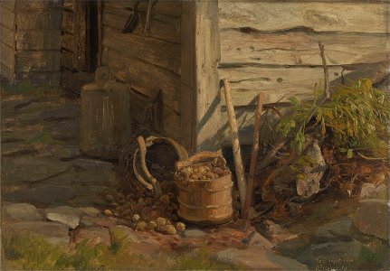
1860 paintings
19th-century portrait photographs of standing men at full length
portrait photographs of men holding hats
1860 paintings
budapest
artworks with known accession number
artworks without wikidata item
artworks with known accession number
artworks without wikidata item
food containers
studies (art)
1860 paintings
prague
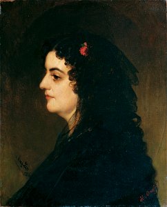
19th-century portrait paintings in the österreichische galerie belvedere
portrait paintings of women with black veils
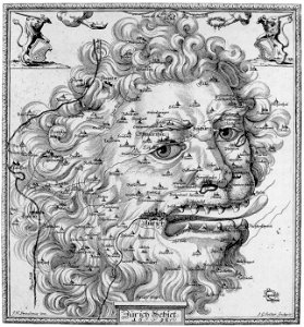
17th-century engravings
faces of men in art
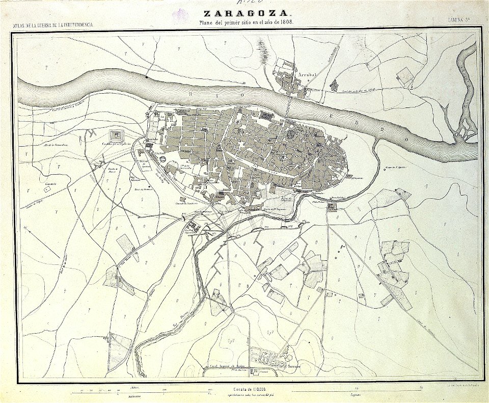
sitio de zaragoza (1808)
1868
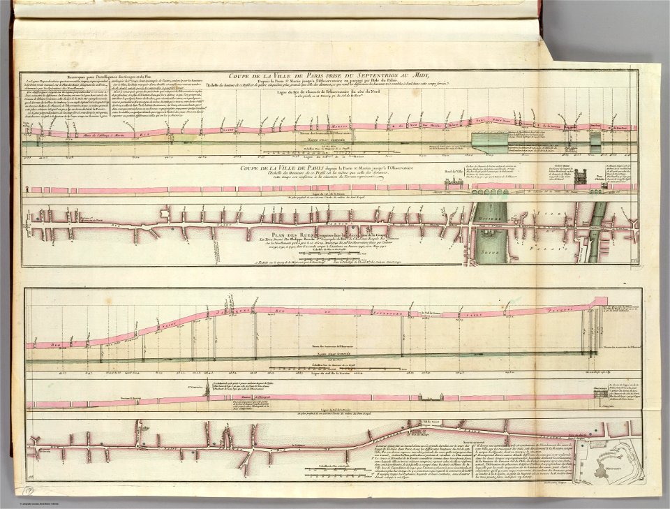
seine river in paris
old submaps of paris
maps from the mechanical curator collection
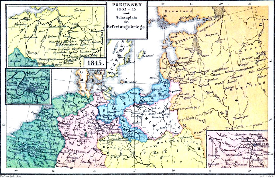
old maps of prussia
old maps of the danube
french-language maps
19th-century satirical maps
1899 maps of europe
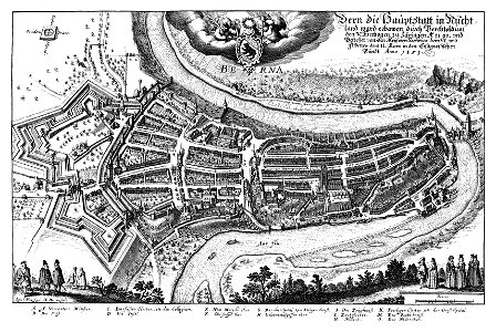
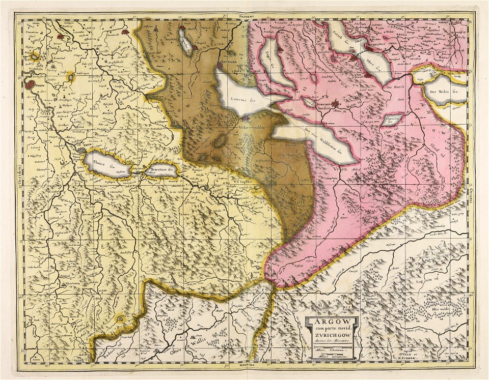
1638 in switzerland
bern
images from the new york public library
george hayward
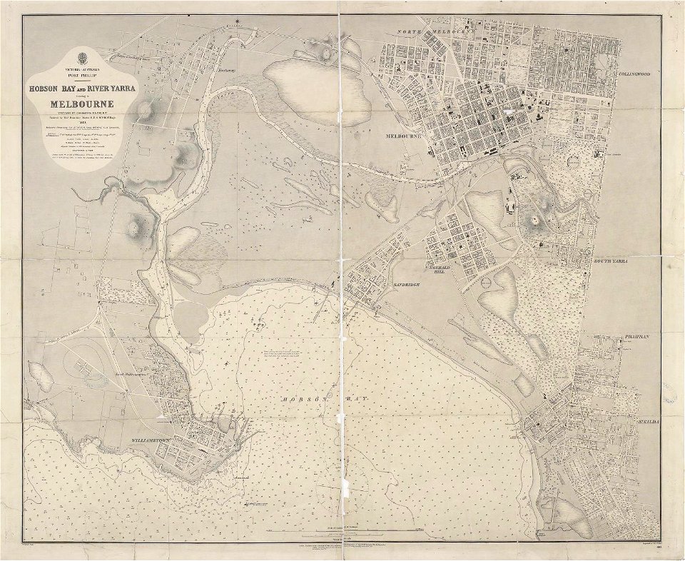
maps of melbourne
australia
maps from the mechanical curator collection
old maps of prussia
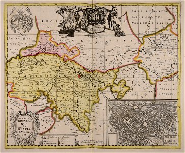
maps by willem and johannes blaeu
ravelins
cornell university library
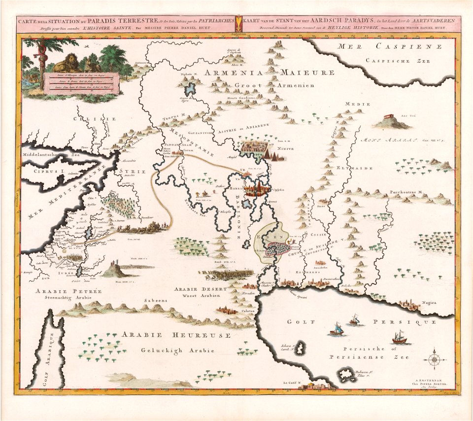
garden of eden
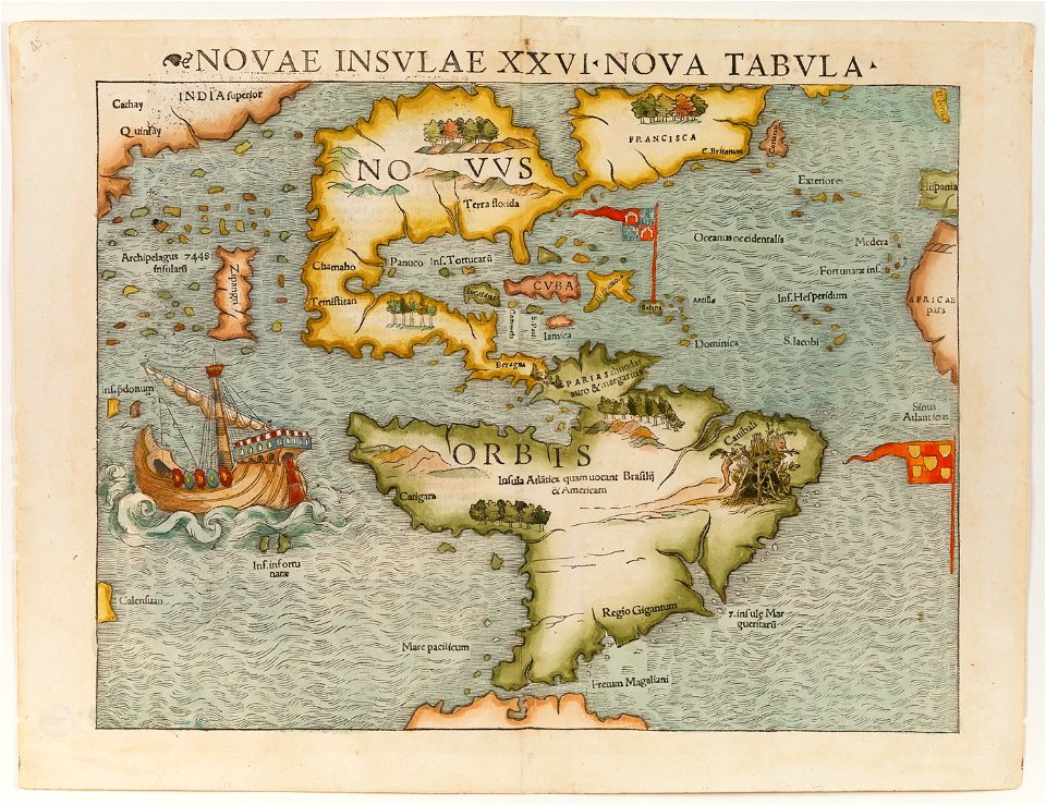
christopher columbus
ferdinand magellan
frédéric-auguste laguillermie
coats of arms of orléans
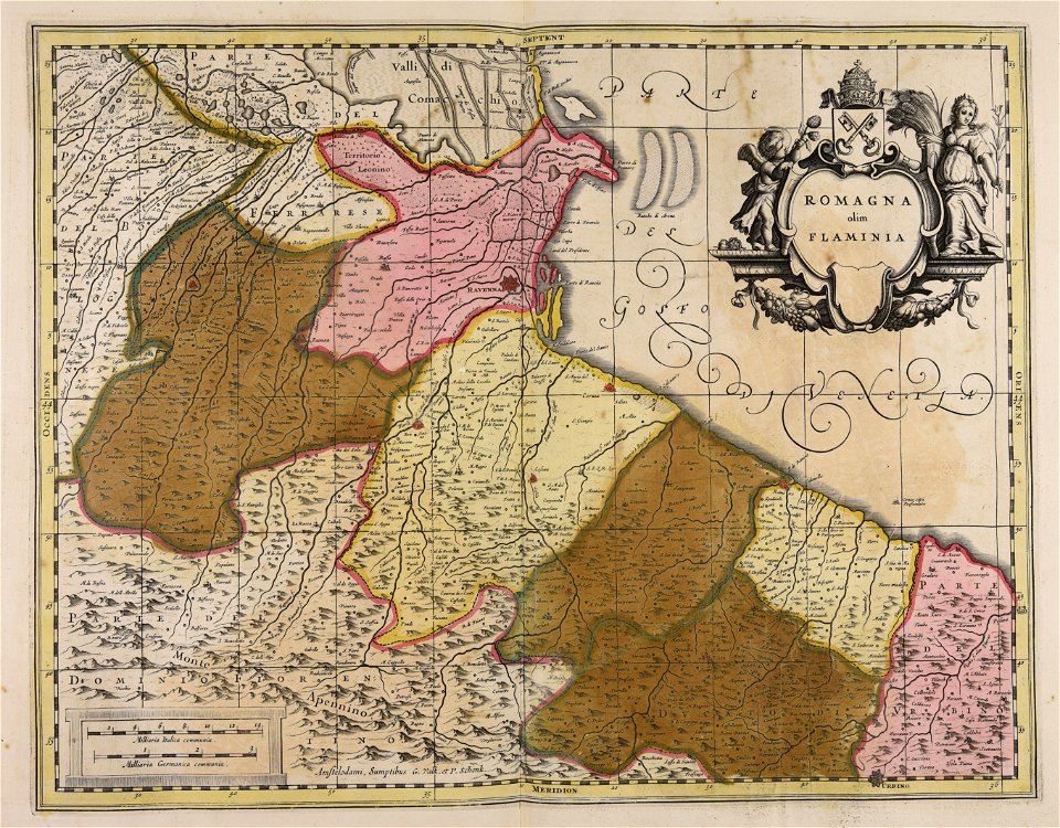
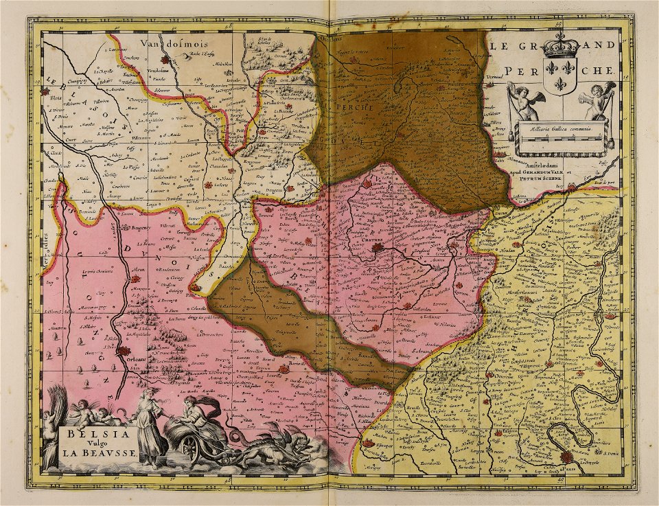
maps made in the 17th century
gerard valck
maps in the national archives of japan
genroku kuniezu
coats of arms of cities in corrèze
guillaume marie-anne brune
frédéric-auguste laguillermie
françois arago
maps made in the 17th century
gerard valck
maps made in the 17th century
gerard valck
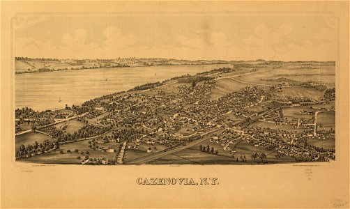
cazenovia
new york
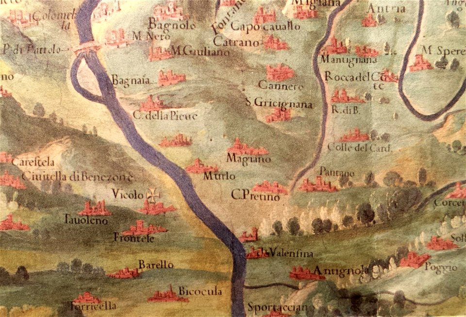
history of perugia
old maps of umbria
maps made in the 17th century
gerard valck
maps made in the 17th century
gerard valck
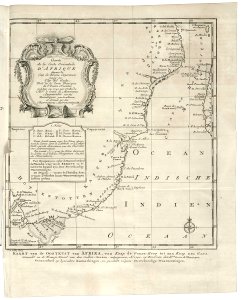
old maps of the dutch east india company - africa
1747)
prints from dankaerts historis at the peace palace library
cornelis danckerts (i)
maps made in the 17th century
gerard valck
maps by willem and johannes blaeu
maps made in the 17th century
maps made in the 17th century
gerard valck
maps with cartouches
netherlands
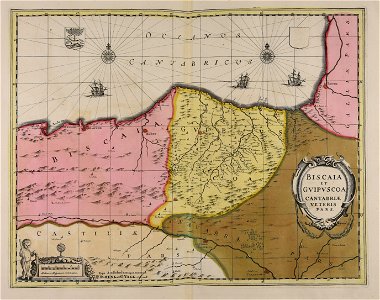
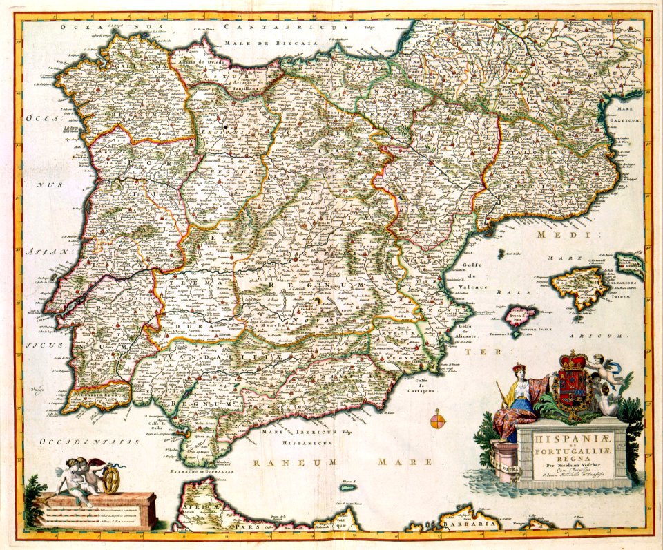
old maps of the iberian peninsula
nicolaes visscher ii
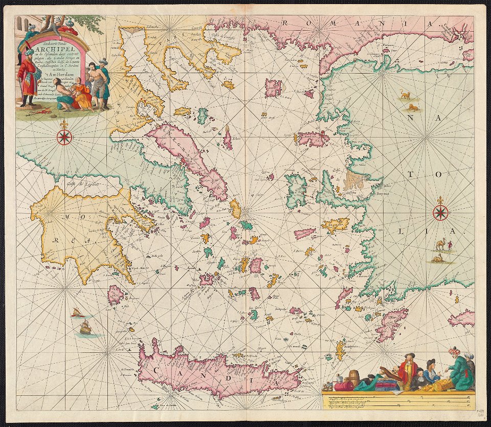
maps of the sea of marmara
old maps of the aegean sea
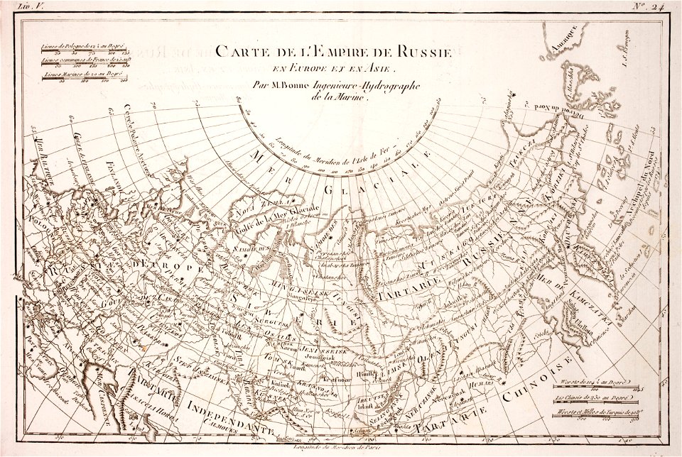
1780 maps of russia
bonne projection
19th-century maps of the caucasus
1856 maps
maps made in the 17th century
gerard valck
maps made in the 17th century
maps by nicolaes visscher i
maps made in the 17th century
gerard valck
maps made in the 17th century
jan janssonius
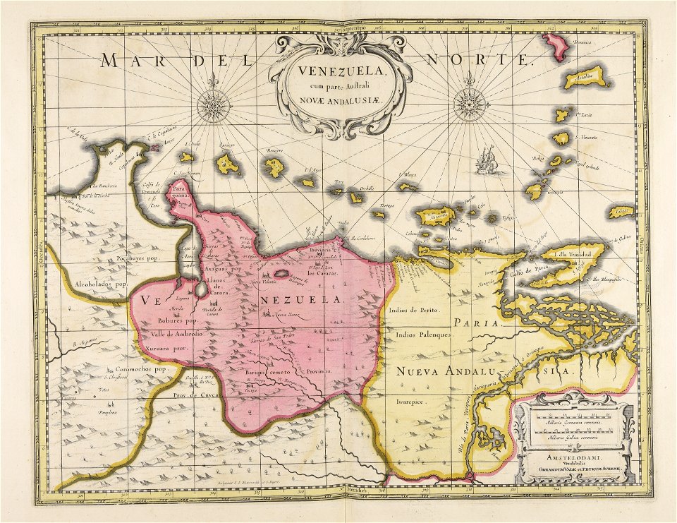
old maps of venezuela
gerard valck
5701 - 5800 of 38,207
Next page
/ 383